
Here's what we know so far about the storm coming on Friday afternoon.
UPDATED AT 4:07pm: As far as we know the timing of the storm is still on track to hit somewhere between 5-7pm. Totals have been updated along with Warnings and Advisories as well. Here's the latest from the National Weather Service -
Updated at 2:24pm: Looks like the storm may be tracking further North than originally expected so our totals will likely be higher that we thought.
At the moment, the snow is expecting to start around sunset and is supposed to continue right through Saturday morning. The "experts" are saying that it should wrap up just before sunrise.
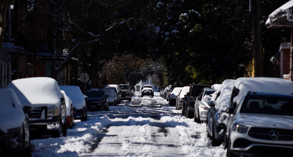
When all is said and done, snow totals will vary depending on where you are. In Albany and the immediate Capital Region, we're right on the line between 3-6 inches and 6-9 inches. Obviously that will depend on how the storm tracks. If you're North of Albany you could be seeing 3-6 inches or possibly 1-3 inches. South of Albany? It's looking like you might get hit the hardest. Be ready for 6-9 inches or possibly even more, depending on your elevation.
You'll also want to be aware of "snow emergencies" in the area as well. We're already seeing emergencies declared in Amsterdam, Menands and Catskill.
Here's what our good friend Steve Caporizzo (we know he retired but he's still The Man) is saying we could see.
And here's what Channel 13 is telling us -
 American Idol Stars Head To Albany, NY
 A Sensational Way To Get You In The Holiday Spirit
 Suzy Bogguss To Sing In Cohoes, NY
 Step Into Barbie's World at NYS Museum
 Holiday Concerts Returning to Rail Station in Rensselaer