
SEVERE WEATHER ALERT
BE PREPARED
-
 Weather Forecast
Get The Latest Updates From The National Weather Service
-
 Extreme Heat Safety
Learn How To Keep Yourself Safe & What To Do In An Emergency
-
 Cooling Stations
Find The Nearest Cooling Station
-
 Pet Safety Tips
Keep Your Furry Friend Safe From Extreme Heat
Latest Posts
-
 July 27th is National Chicken Finger Day
Classic Hits WROW
an all-time favorite for over the past 20 years
-
 On July 27, 1964 Frankie Valli & 4 Seasons would be at #1
Classic Hits WROW
Rag Doll would be at the top of the Billboard Singles Chart for 2 weeks
-
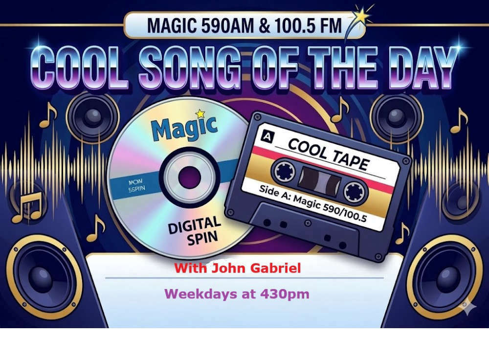 Magic Cool Song of the Day Mon. July 27 2026
Classic Hits WROW
Here's the Magic Cool Song of the Day for Monday July 17 2026. Hear it this afternoon around 4:30 with John Gabriel on Magic 590AM & 100.5FM
-
Magic Cool Song of the Day Fri. July 24 2026
Classic Hits WROW
Here's The Magic Cool Song of the Day for Friday July 24, 2026. Hear it this afternoon with John Gabriel around 4:30. On Magic 590AM & 100.5FM.
-
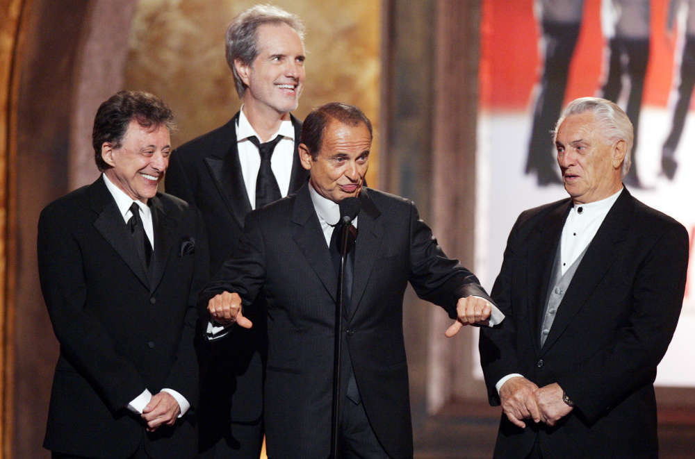
 Tommy James & the Shondells were at #1 July 24, 1966
Classic Hits WROW
Hanky Panky would sit on top of the Billboard Singles Chart for 2 weeks
-

What's Happening
-
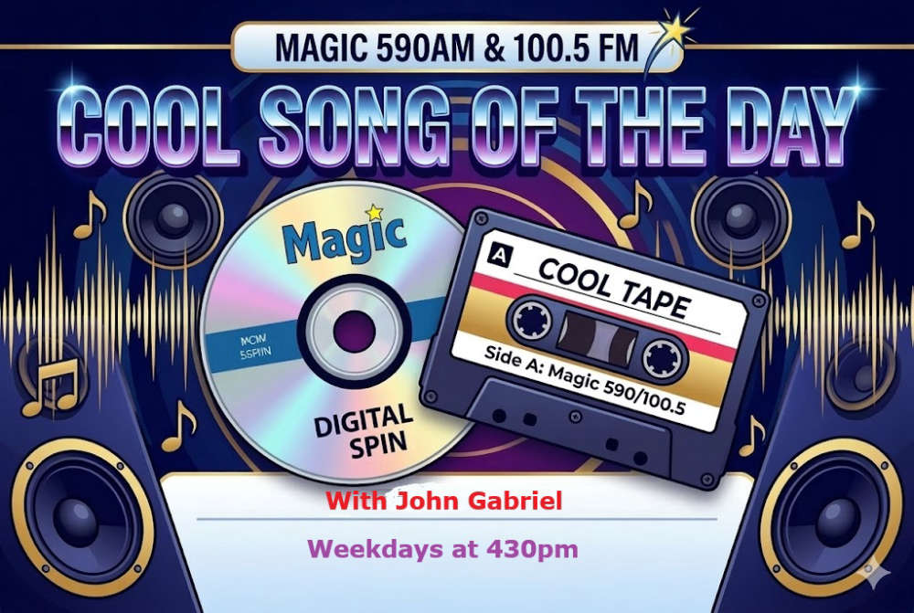 Cool Song Of The Day
Weekdays at 430pm, John Gabriel digs into our library to play his Cool Song Of The Day.
-
 Come Work with Us
We're hiring!
-
 Herzog Law Firm
Listen Saturday mornings from 8am-830am for The Estate and Medicaid Planning Hour with Herzog Law Firm.
-
 This Day In Music History
Weekdays at 1230pm, Bill Williams presents This Day In Music History... a look at music and news events that happened on that day.
Events
-
 Derek Hough Symphony of Dance: Encore
Don't miss Derek Hough Symphony of Dance: Encore live on the Palace Theatre stage on July 28, 2026 at 8p. Tickets on sale 11/14 at 10:00AM at PalaceAlbany.o...
at Palace Theatre -
Free Summer Concert Series July 7, 2026 - August 18, 2026
Our Adirondack Summer Concert Series Opens Tonight with a Traditional and Jazzy Celebration of our 250th Anniversary!
at Knights Of Columbus (k Of C) - Outdoor Performance Pavilion (behind The Building) -
Aviation Mall Carnival
Experience the sights, sounds and aromas of the electrifying midway with exciting rides and games and deep-fried treats, sweets and other tasty carnival eats.
at Aviation Mall